Higher Squire was just what I needed as January was coming to an end. I was in Seattle for work and had a free day on Sunday. Brian came up with me for the weekend and we committed to getting into the mountains. We had been hoping to ski, but the lack of snow made it a hike/snowshoe day.
In preparation for the weekend, we left the planning to our friends. And they did a great job of rallying an awesome crew. Decisiveness on which mountain was not a strength and it wasn’t until late on Saturday that a decision was made. I admit, Higher Squire wasn’t my top choice. But a fanatic of Mountain Loop won out… and I now give him props for picking such an awesome hike.
The hike was important for me. With no snow in the Sierra’s, skiing wasn’t an option and crazy work schedules prevented us from getting into the mountains much. We needed beautiful mountain therapy. Add to that the passing of my Grandfather that morning and I needed the fresh air.
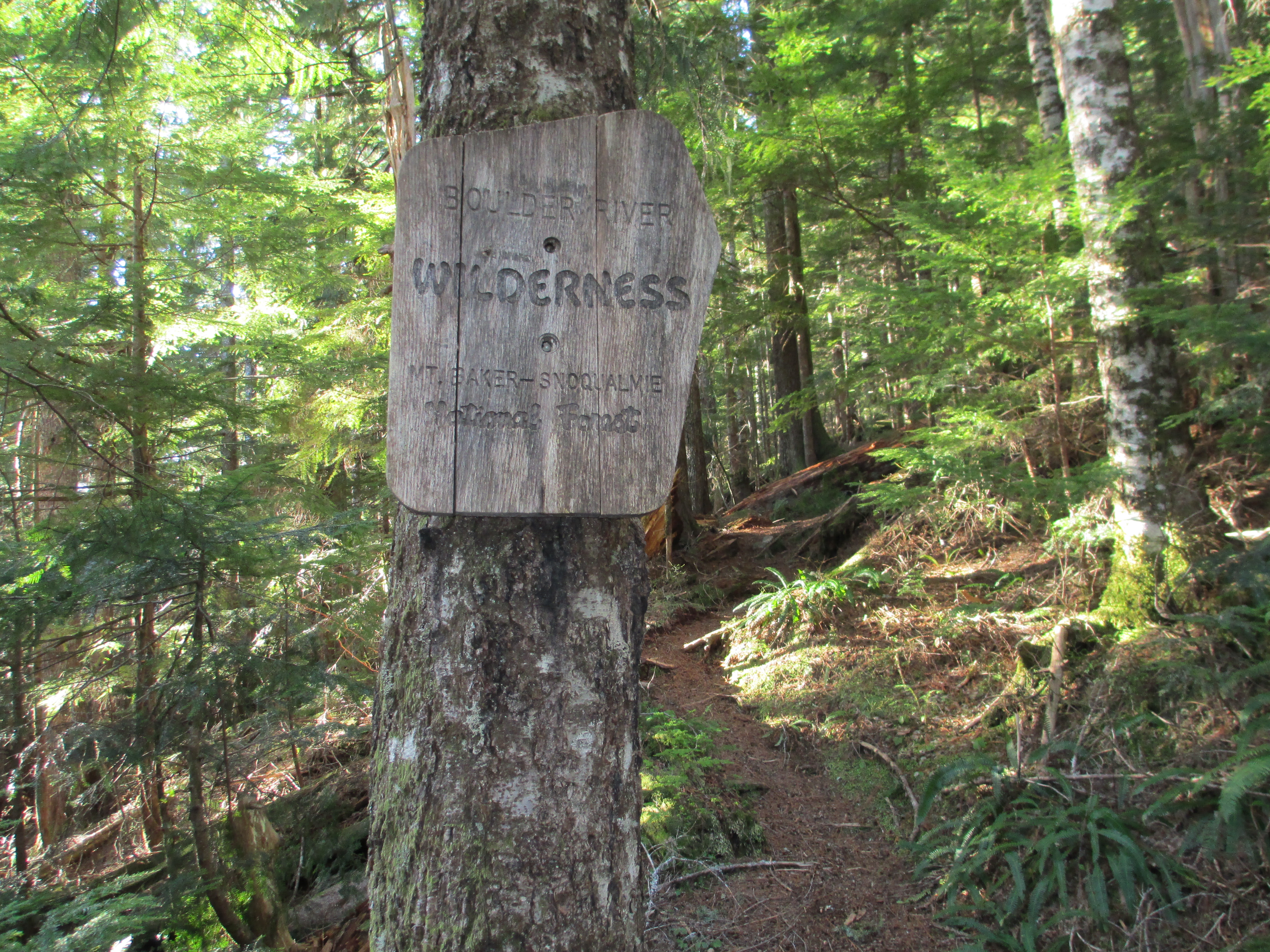
We left from the 65th Street Park & Ride at 7am with three cars carrying 10 people and 1 dog. There was something comforting and normal about that. The trail starts at about 1,800 feet at Eight Mile Creek Trailhead, not too far from Darrington. We started hiking a little after 9am.

We hiked the trail for over an hour with occasional steps on snow, but for the most part it was all dirt trail. The trail was well worn using many tree roots as steps. The steps were big. My thighs were feeling my lack of exercise and vert with each 18+ inch step up. As expected, I was in the back of the pack. I happily went my pace and my friend Melissa stayed back with me allowing us much time to catch up. The rest of the crew raced ahead.
Melissa carefully maneuvering the occasionally slippery steps: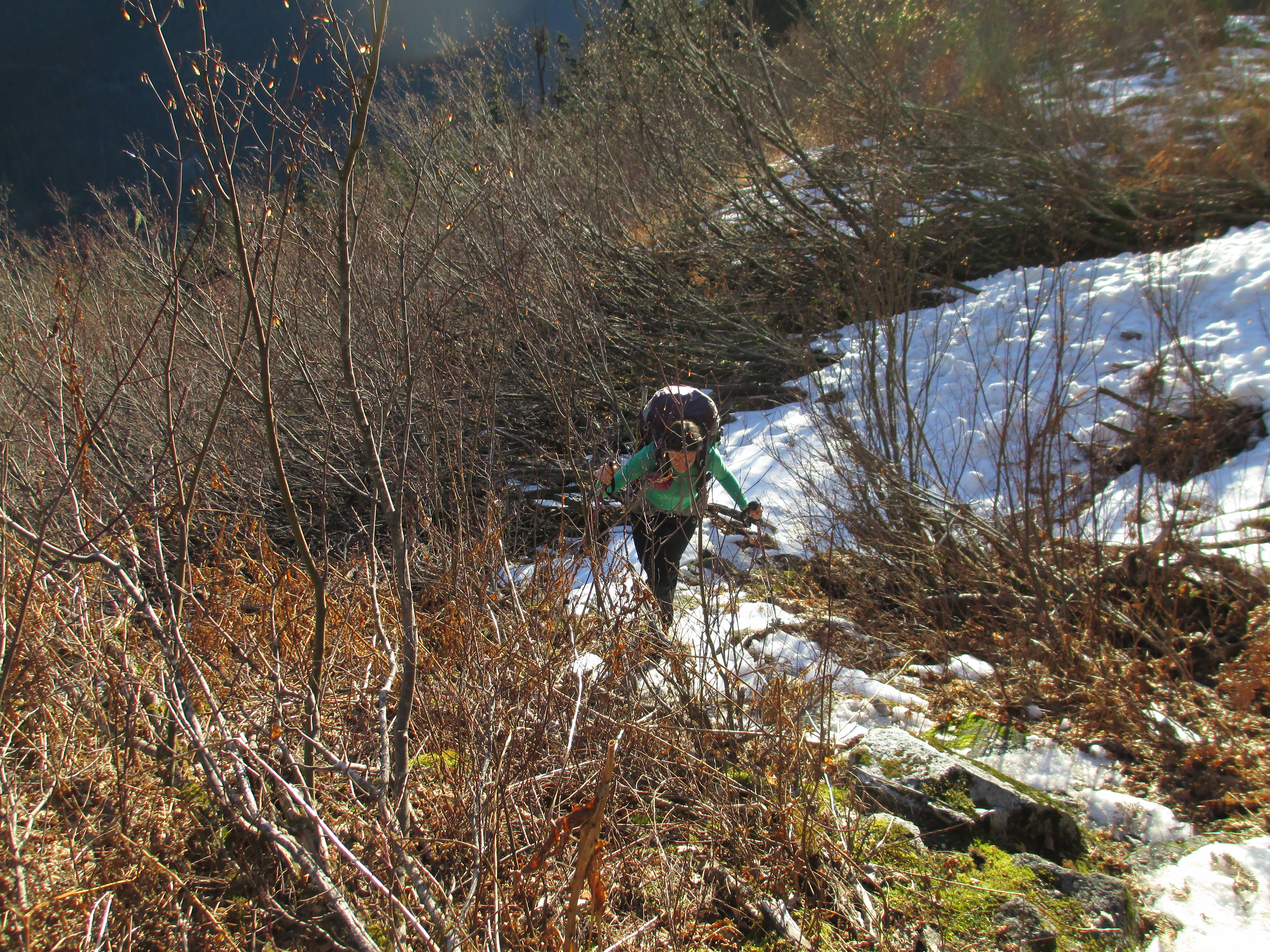
After the first hour, we reached snow and took a break to de-layer. The sun was warm and I found myself in my base layer, which is unheard of for me. I am always wearing more layers than anyone else on a hike.
Brian and Jim wait for us to catch up when the trail turns to snow: 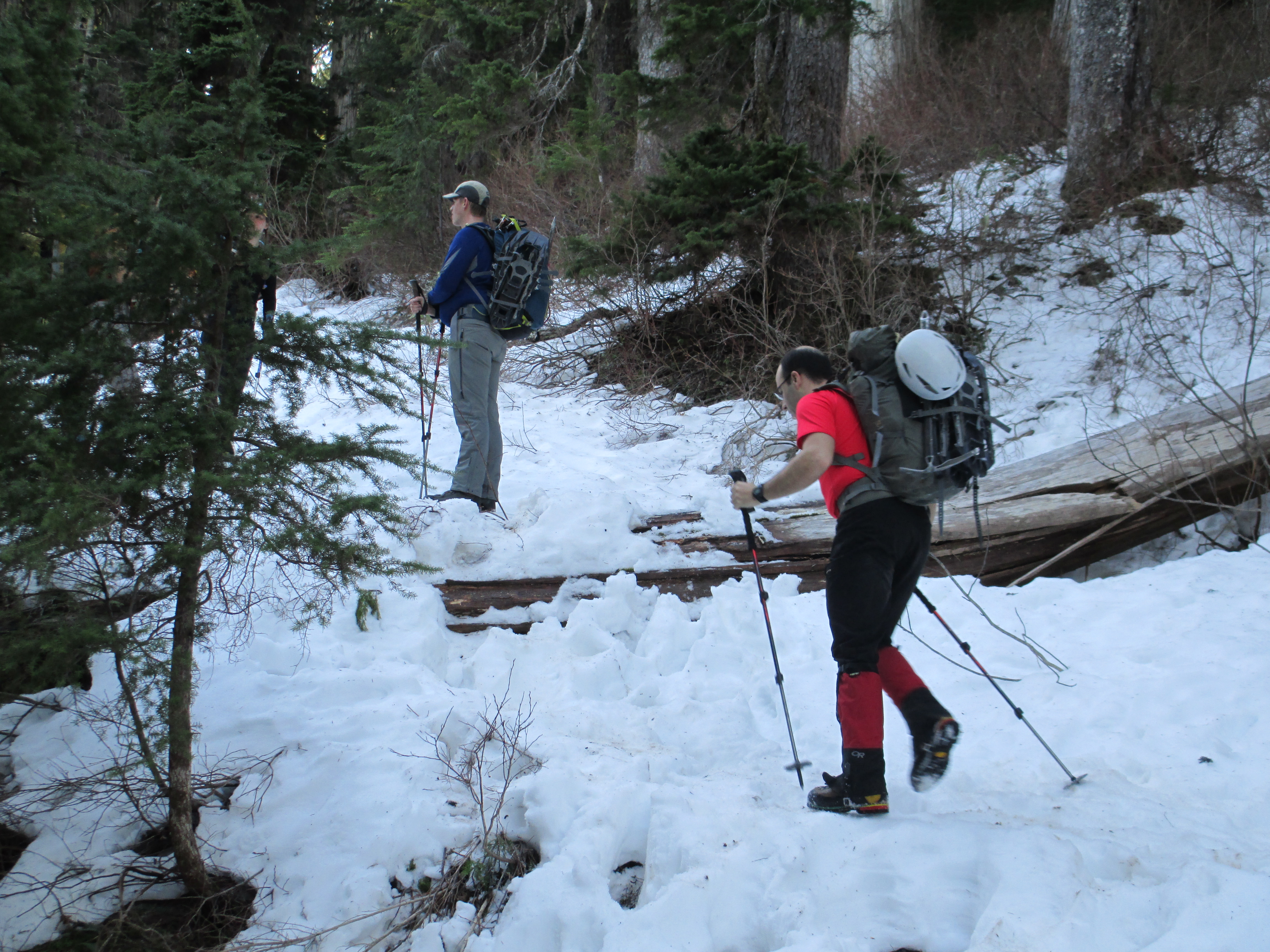
As the snow got moderately deeper, we met up with Brian and a few others waiting to point our way up as the trail moved in a more straight up the snow pattern. The snow was relatively slushy, so snowshoes were not required. As we went up, the trees spaced out and the views opened up in all directions. The climb continued and the snow wavered between slushy to rock hard and icy.
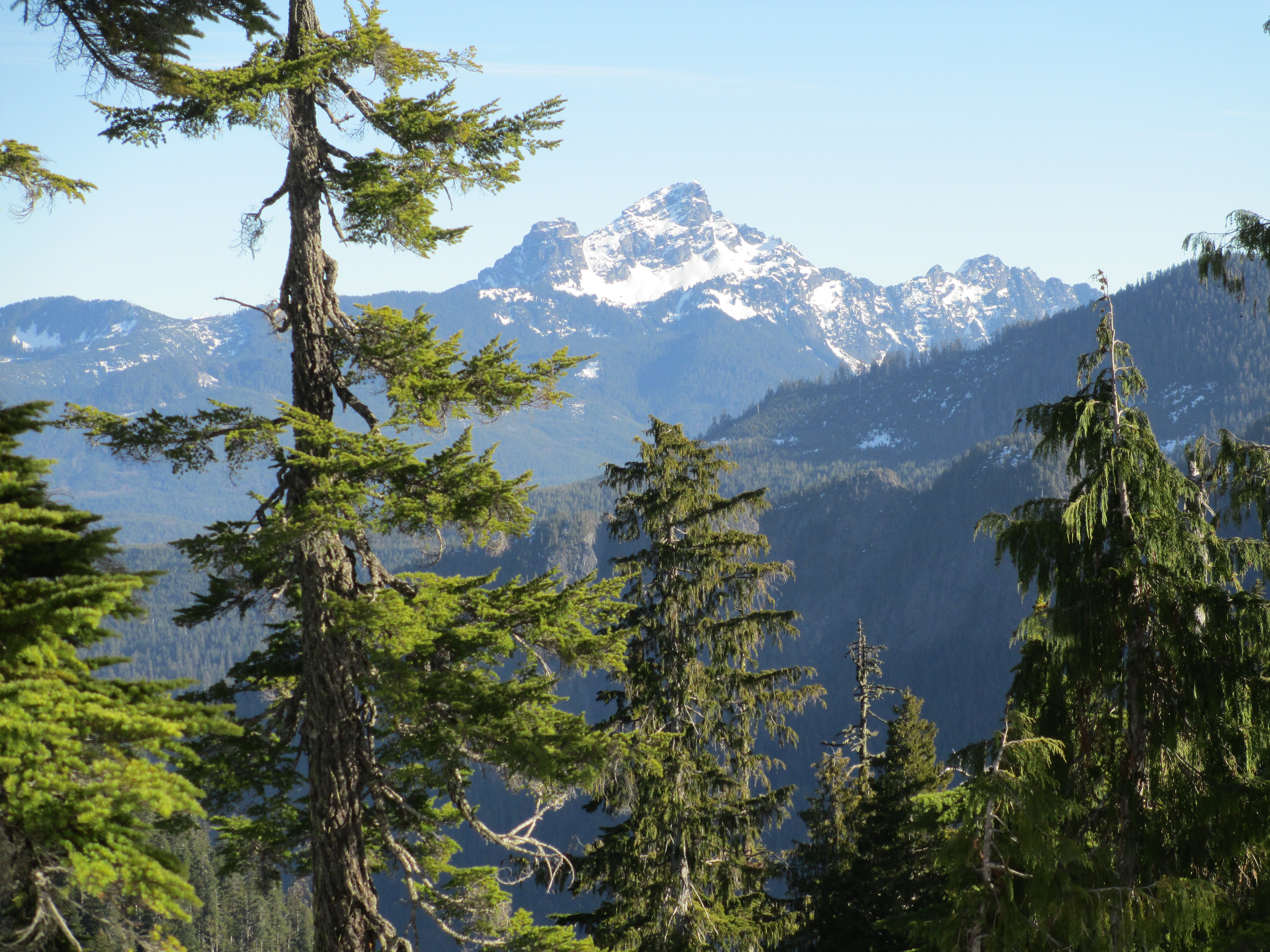
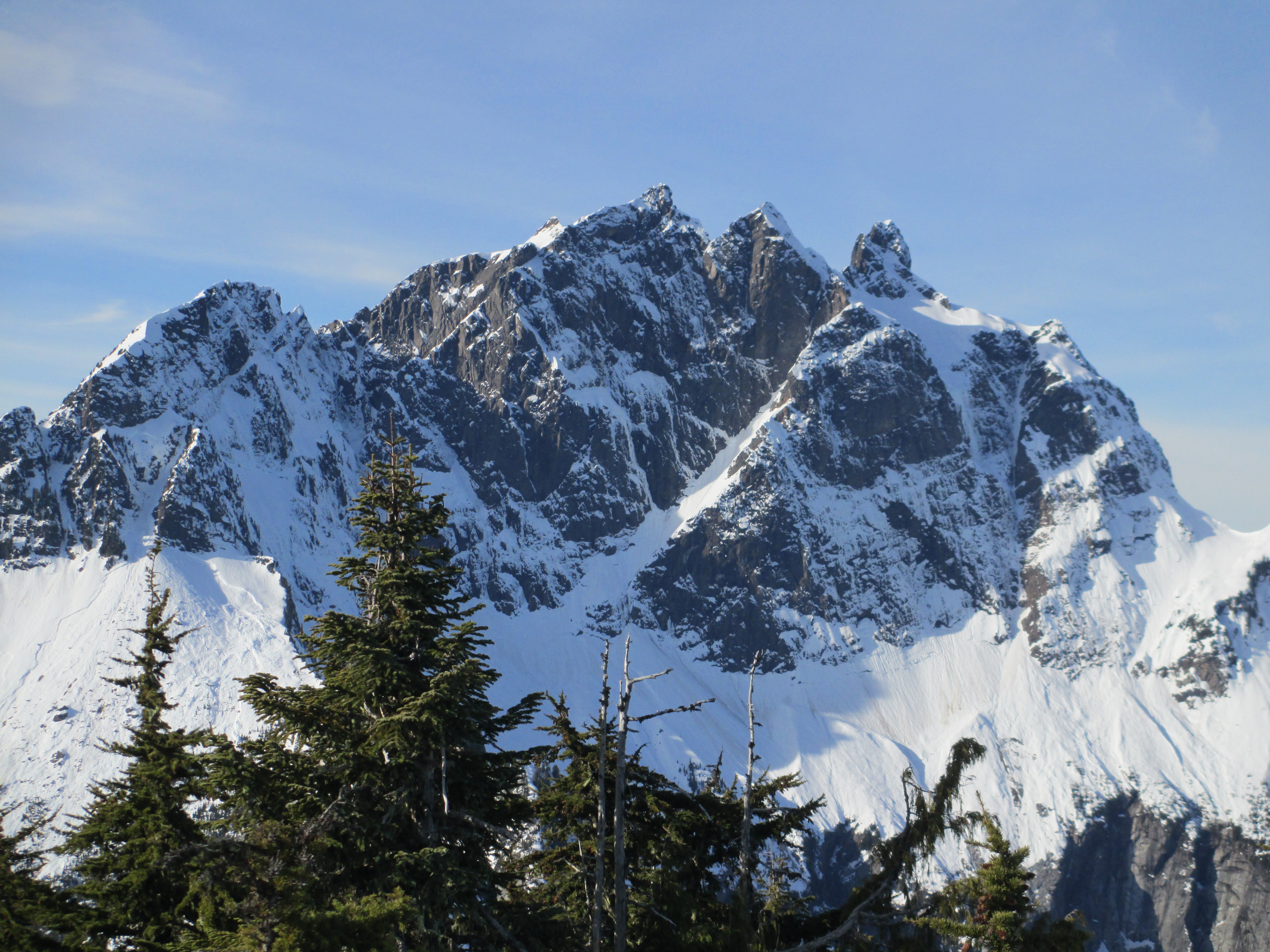
Views of mountains through open spaces in the trees: 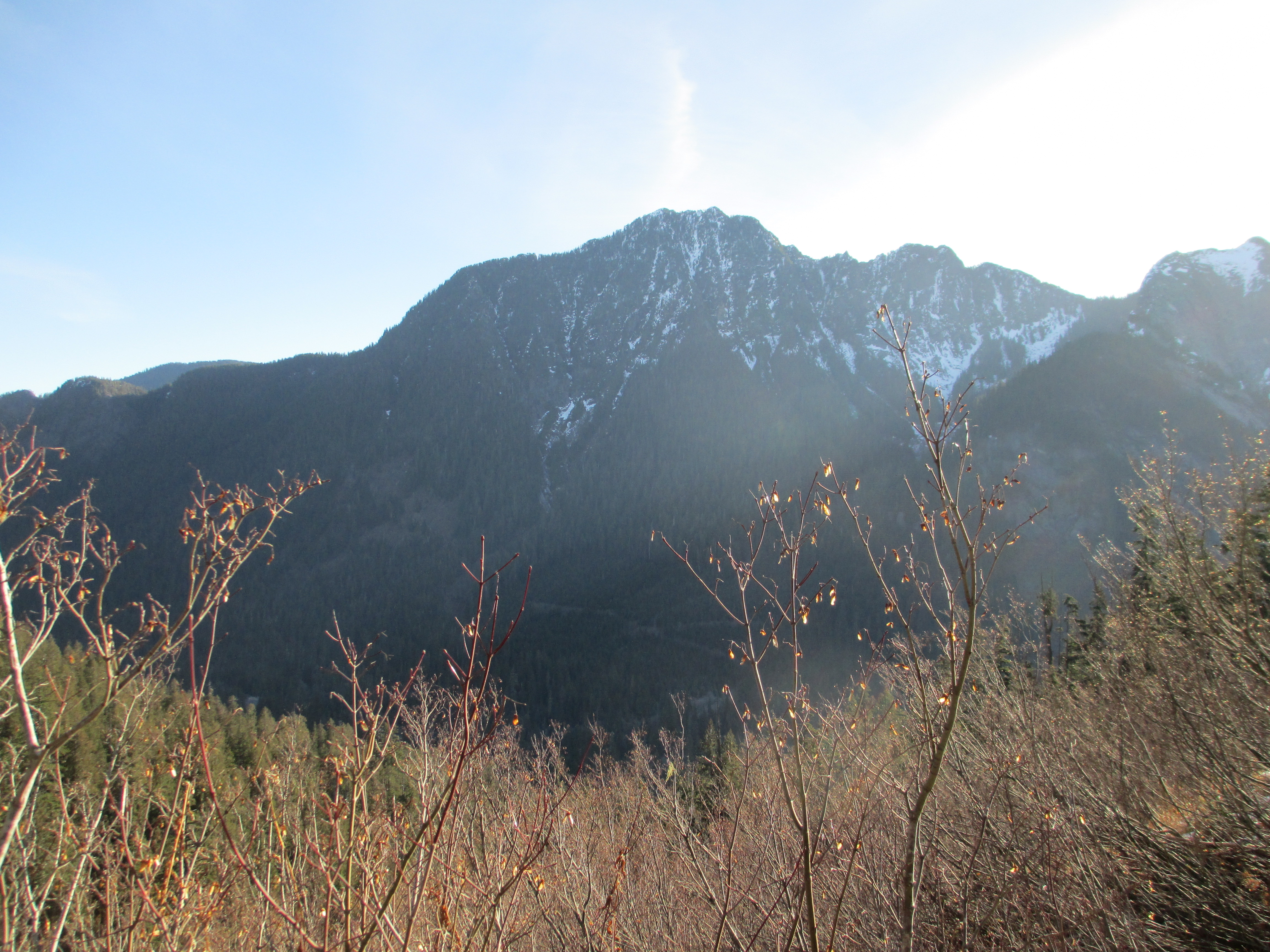
I remained in the back of the pack, but as things opened up, I could see the rest of the group up ahead and was able to follow their trail. It was clear a few had put on snow shoes, but there were still foot prints in the snow. We followed them along a ridge and came across our photographer friend Josh running loose with his camera. He’d given up on the trail and committed to taking photos. So Melissa and I turned into his subjects to take advantage of perspective and light.

While fun and entertaining to pose randomly, I was reaching the point of needing a food break. The summit was “about 400 feet” up, which is Laura speak for “just keep walking, you’ll get there”. But eventually the 400 feet became less and we reached the summit area.
The summit, covered in snow, is only at 4,800 feet, but with over 700 feet of prominence and a spectacular 360 view, you’d think you were at 10,000 feet. We all enjoyed the break by taking pictures, enjoying our lunches and passing around a few tasty beers.
Part of the group on the true summit: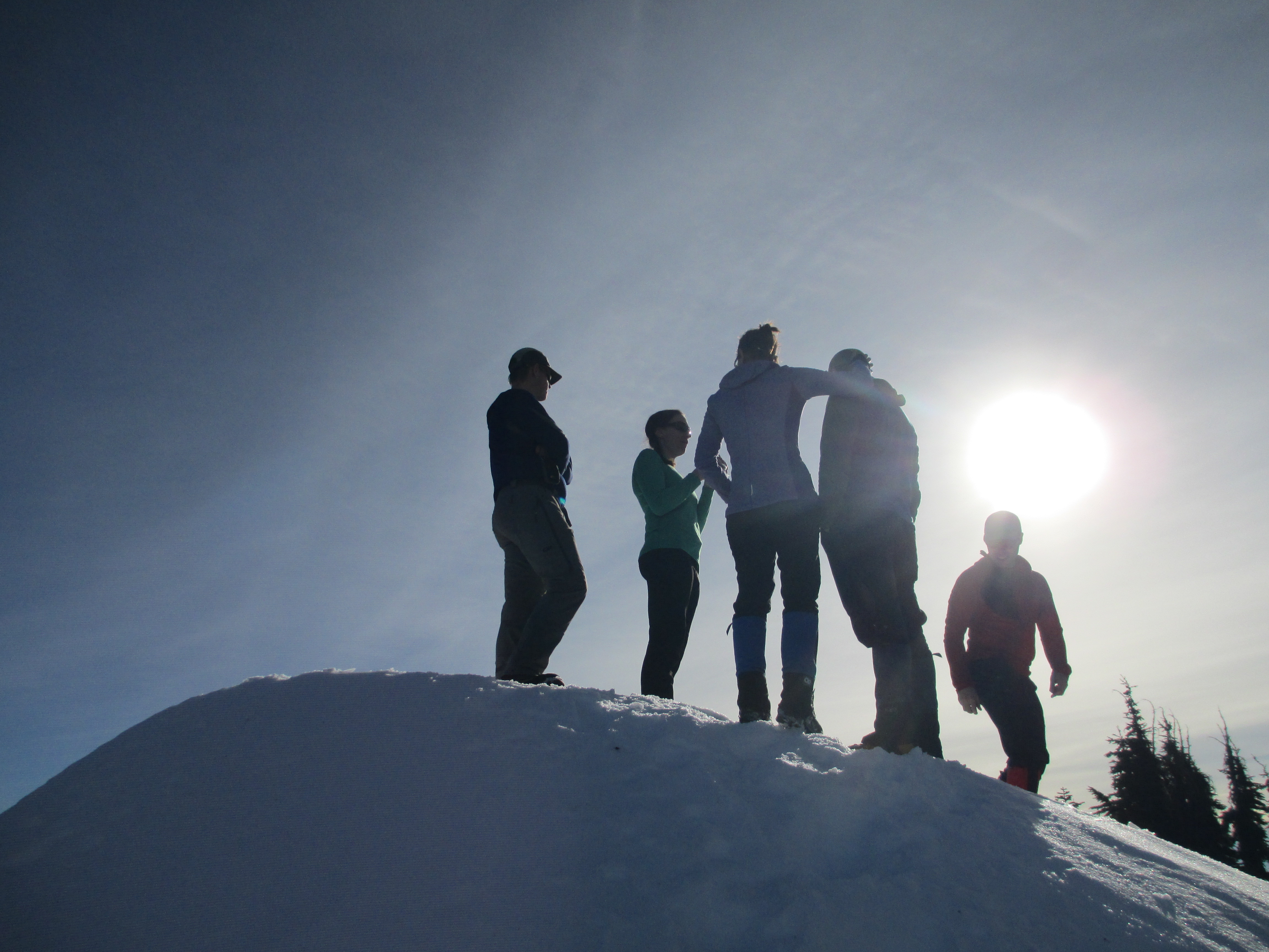
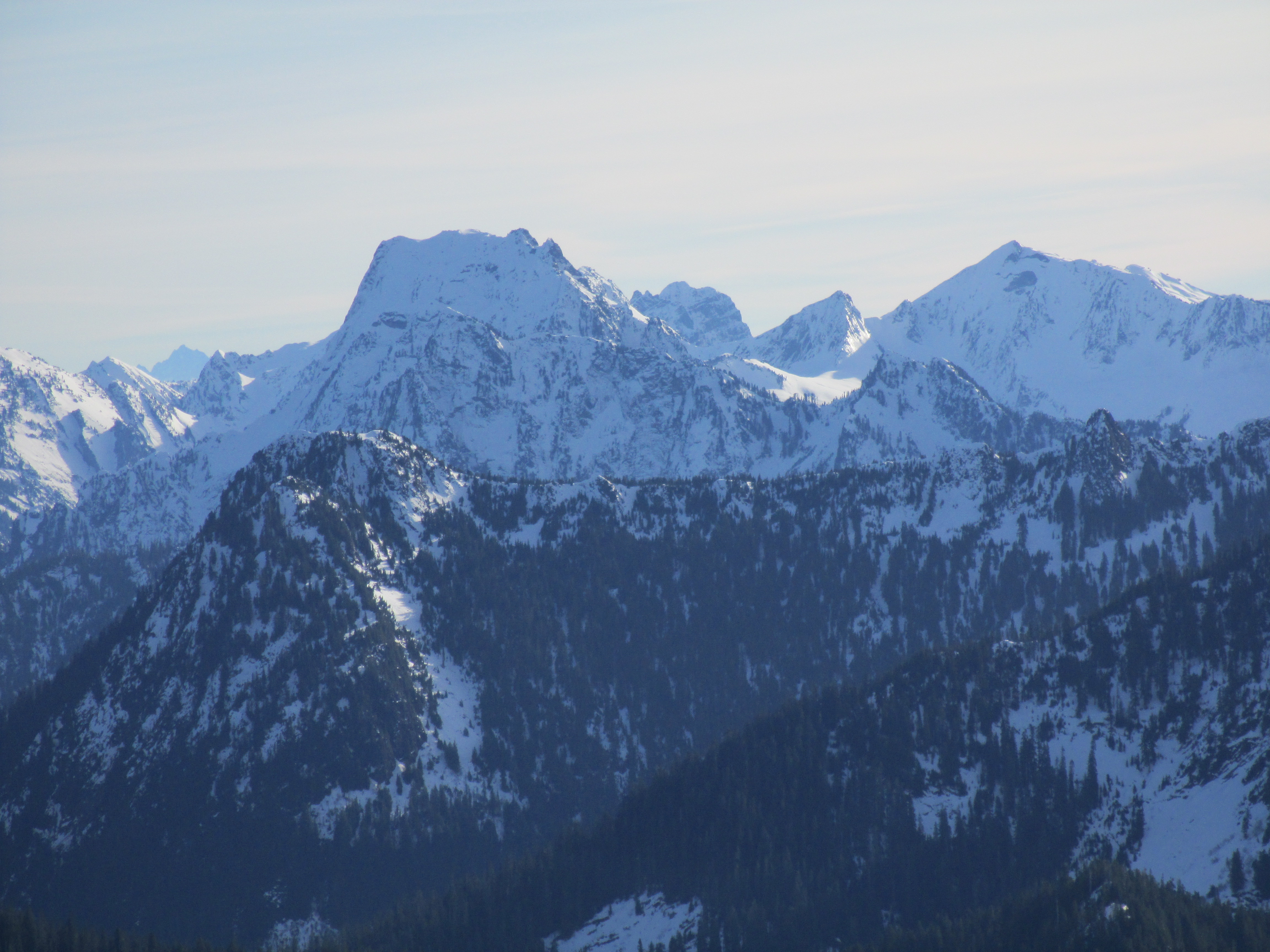
The summit was just what I needed. It was clear enough to see the Olympics to the west, just passed the cloud covered Sound, Mt. Rainier to the south and Baker to the north. We played name that peak and I was awed and inspired by all the beauty that could be taken in. These are mountains. Bonanza to the east with it’s super jagged ridge, and Three Fingers right in front of us. I didn’t want to leave. This is what I miss in Washington.
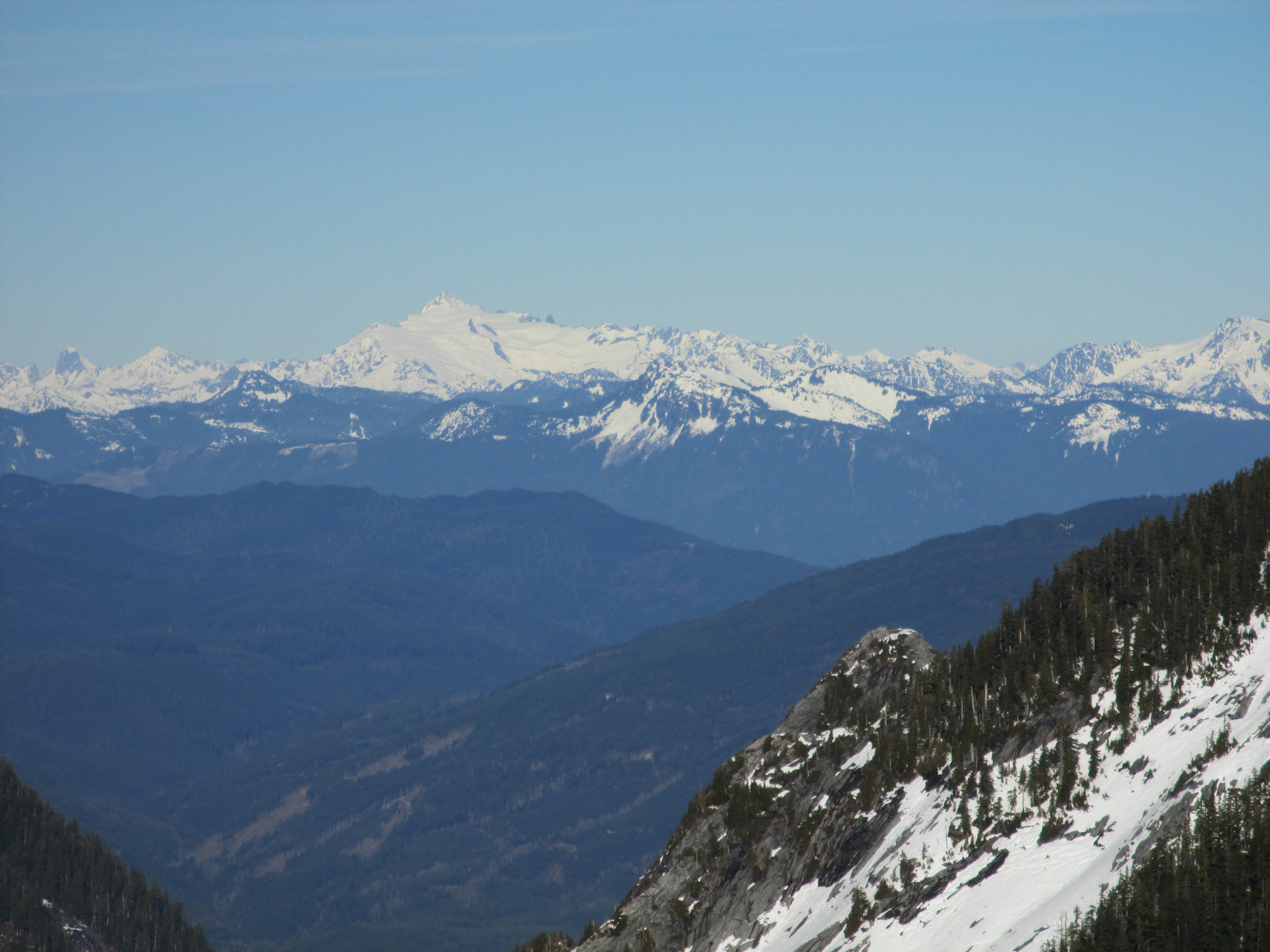
Mt. Rainier in the distance:


The Olympic Mountains in the distance to the west: 
After lounging for a good half hour, it was time to head down. We decided to take an alternative route down that was to be more direct and easier to plunge step. That was true until the terrain flattened out and became hard as ice. I opted to put on crampons, as I was sliding and falling and reducing my fun quotient. Gradually as we worked our way further down, the snow softened and we moved to snow shoes for easier progress. Without too much bushwacking, we reached the dirt trail and made good time returning to the car.
We reached the car after about 7 miles and 3,000 feet of vert. I felt good as we loaded up our gear. Our car didn’t need to return to the park and ride, so the four of us agreed that a trip to Burger Barn for a tasty milkshake was in order. It was only 4pm so we would easily get there before they closed. It was the perfect way to end the day.
I’ll admit, I got pretty emotional on the hike. It was a flood of emotion revolving around needing to be in mountains, getting to experience everything I love about the Cascades and dealing with the loss of a family member. But in the end it was worth it. It fed my soul and reminded me what I’m working for and towards.
I don’t know if I’ll ever live in Washington again, but I do know that I am committed to hiking in the Cascades as frequently as I possibly can and keeping my soul full and inspired.
